
NEW- Update of land cover data for the
WRF Model -
Andrés Flevaris aflevaris@gmail.com Germán Gadea ggadea@gmail.com Juan Souteras jsouteras@gmail.com Sergio Nesmachnow sergion@fing.edu.uy
Alejandro Gutiérrez aguti@fing.edu.uy Gabriel Cazes agcm@fing.edu.uy
The Facultad de Ingenieria de la Unversidad de la Republica, work with WRF, in order to forecast the wind power energy introduced to the gird by the wind farm installed in the country.
A relevant point in making these forecasts is the information of land cover used by the WRF model. In South America, and in Uruguay in particular in the recent 20 years there have been occurred important change in land uses, by the introduction of new agricultural uses like forestation and soya. The land cover information available in binary format supported by the WRF model in its latest release is outdated. The main objective of this work is the update of this information in the binary format for full domain WRF, (the planetary domain).
Different sources of information and products were analyzed with the objective of updating the land cover data used by the WRF climate model. Studied sources include product GlobCover ESA (European Space Agency), satellite imagery from the GOES satellites and NASA’s MODIS-12 product. The products were analyzed taking into account the date of liberation, the resolution of the information contained, the land cover classification system, among others features.
Finally, the chosen product was the MODIS-12 of land cover, mainly because the classification used by this product (IGBP) to describe the land cover information, is supported by the WRF model. The year of his last release is 2010. It contains information on resolution of 15 seconds this new data increases the resolution of the data free access of the WRF model, which currently have a resolution of 30 seconds. This product contains information on the land cover, already processed and validated by the NASA.
In the WRF model the land cover information is stored in a binary format, so to make the model information update was necessary to convert the MODIS-12 information to the binary format used by WRF. During the conversion process, it was necessary to make a change in the data projection because input and output information have different projections.
The presented problem raised a challenging and important interest, which was the conversion of the product on a planetary scale, covering land cover information around the globe to achieve the complete update of the WRF model. Raised this new objective and with a large volume of data was necessary and beneficial to use high performance computing techniques to achieve the implementation of an efficient algorithm for the conversion process.
As a result of this project was the implementation of the conversion software on the one hand, and on the other the set of binary files containing the land cover information.
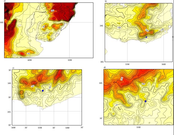
The obtained results
were validated on the one hand comparing the land cover
classification in the area of Uruguay. On the other hand
they were validated with the WRF model, using the original
and converted information, to generate forecasts for the
month of September 2010, for a point located 100 meters high
in the wind park Emanuelle Cambilargiu, obtaining
predictions that mostly coincide but presents significant
changes in some events on the direction and speed of the
winds.
1)Download
the actualized binary WRF data of land uses for full domain WRF,
(the planetary domain),
Modis 2010
2) gunzip
MODIS-2010.tar.gz
3) tar -xvf
MODIS-2010.tar
>>ls
binary_actualized.txt
GEOGRID.TBL modis_landuse_20class_15s
binary_not_actualized.txt MODIS-2010.tar
4)You may copy modis_landuse_20class_15s in the geog directory
5)In the tar file you can find the description of the binary data actualized and the binary data not actualized because there are not actualized data by MODIS.
7)You may copy the GEOGRID.TBL in the geogrid
directory
8)binary_actualized.txt
contain the binary data actualized by MODIS 2010 data
9)binary_not_actualized.txt contain the binary data not
actualized, because not available MODIS data